Norwegen · Jotunheimen National Park
Among Giants and Glaciers
Issue 2019 · Words: Fredrik Schenholm · Photos: Fredrik Schenholm · 5 min read
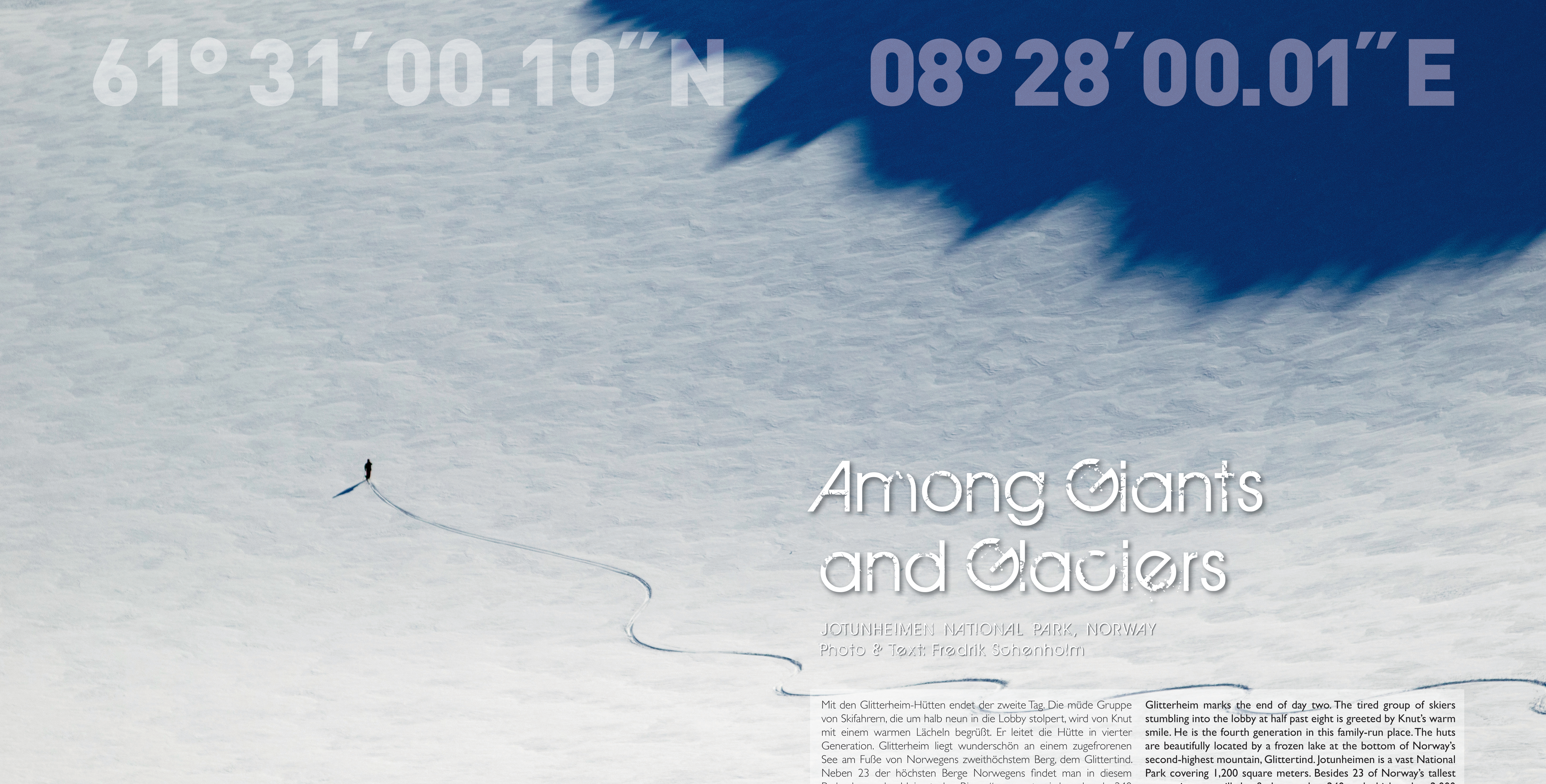
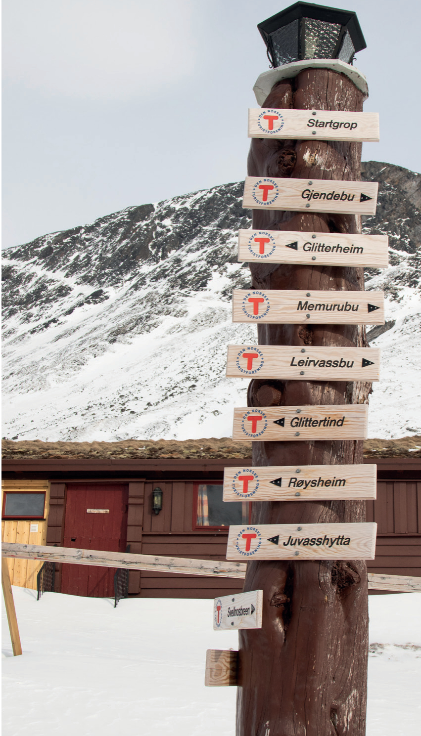
Glitterheim marks the end of day two. The tired group of skiers stumbling into the lobby at half past eight is greeted by Knut's warm smile. He is the fourth generation in this family-run place. The …
Glitterheim marks the end of day two. The tired group of skiers stumbling into the lobby at half past eight is greeted by Knut's warm smile. He is the fourth generation in this family-run place. The huts are beautifully located by a frozen lake at the bottom of Norway's second-highest mountain, Glittertind. Jotunheimen is a vast National Park covering 1,200 square meters. Besides 23 of Norway's tallest mountains, you will also find more than 240 peaks higher than 2,000 meters in this park, also called "home of the giants". Seven years ago, skier Stian Hagen and photographer Johan Wildhagen had the idea of traversing Jotunheimen.
It soon became Norway's equivalent to the Haute Route in the Alps with a length of 77 kilometers, a total vertical drop of just over 7,200 meters and five huts along the way. The first two days were tough for the group. Heavy winds, cold temperatures, and poor snow conditions made the tour less enjoyable than everybody had hoped for. Høyruta, the Norwegian name for the Haute Route, starts at the Gjendesheim mountain hut in the eastern part of Jotunheimen. In contrary to many other huts, Gjendesheim can be reached by car all year round, making it a perfect start for the traverse. The first day of Høyruta covers 16 kilometers and 1,258 vertical meters, crossing the 2,258-meter summit of Besshø mountain.
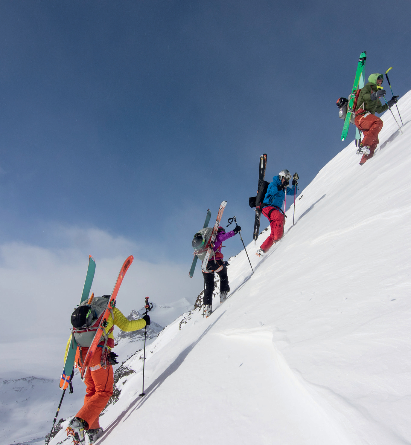
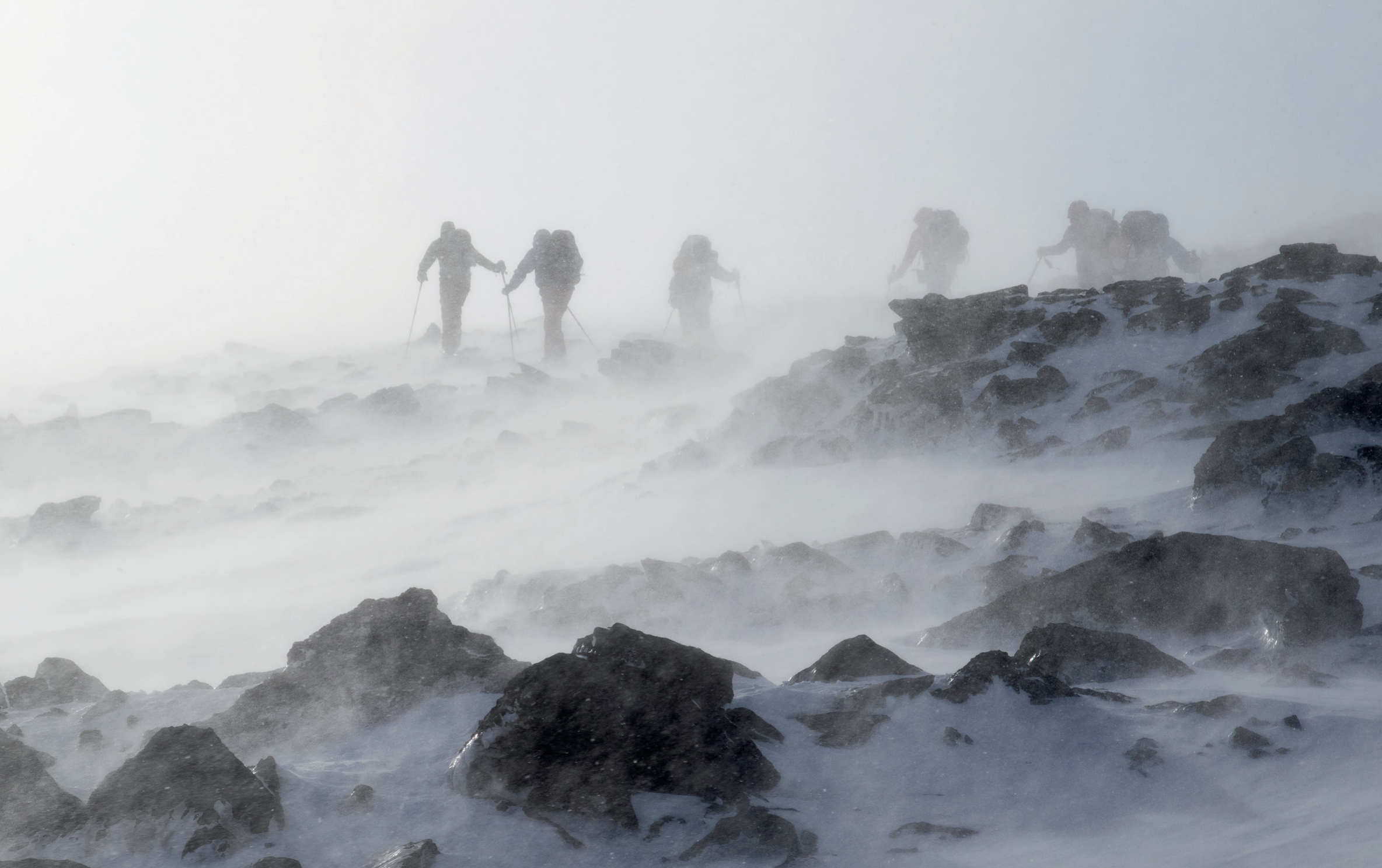
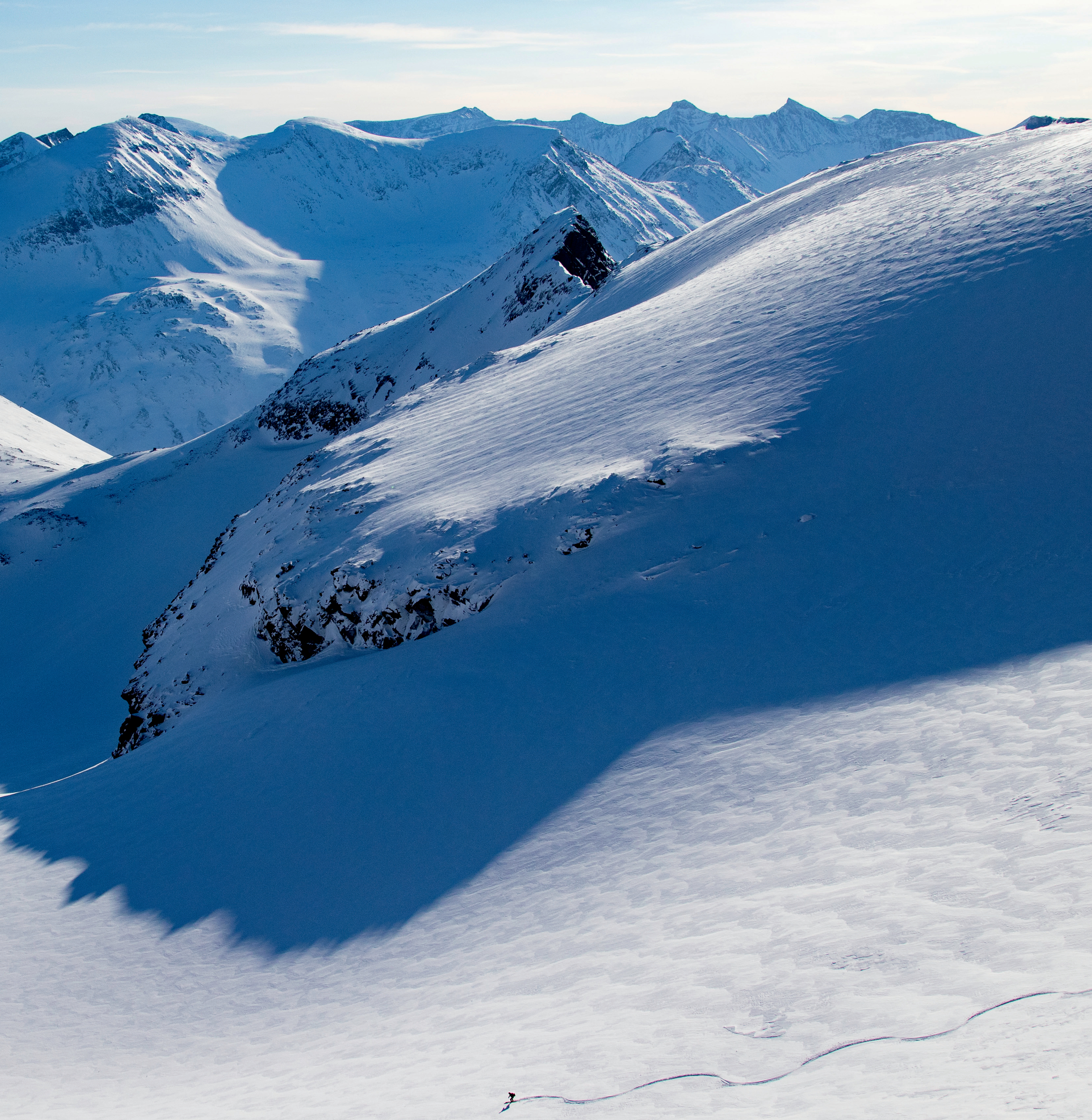
From the summit, we barely get a glimpse of what's ahead of us. The snow is drifting in the roaring wind but occasionally the big glaciers and sharp peaks are visible to the west. The couloir from the summit measures 400 vertical meters with 30-35 degrees, followed by a long traverse across rocks and snow and a short skiable pitch towards the end before reaching the Memerubu hut. The next day, we leave Memerubu and hike seven kilometers, cross one peak and pass several frozen lakes. Now we are standing on the bottom of the last steep pitch that will take us to the plateau leading to the summit of Surtingssue. Finally, we start to feel the high alpine environment.
To the west of us, we see the mighty Vestre Memerubu Glacier with summits sticking up like Nunataks. The views are stunning. Towards the end of the plateau, mountain guide Christian Edelstam decides to skip the short but steep detour across the summit of Surtingssue. Instead, we continue directly towards the Glitterheim hut. The lack of snow, temperatures around -20 degrees Celsius and the wind had slowed us down. We take off the skins and bring out the rope. Christian digs a T-anchor and begins to rappel us, one by one, down the icy and steep section towards the southern part of the Blåglaciären. It's freezing and icy, and it finally feels like a real ski adventure.
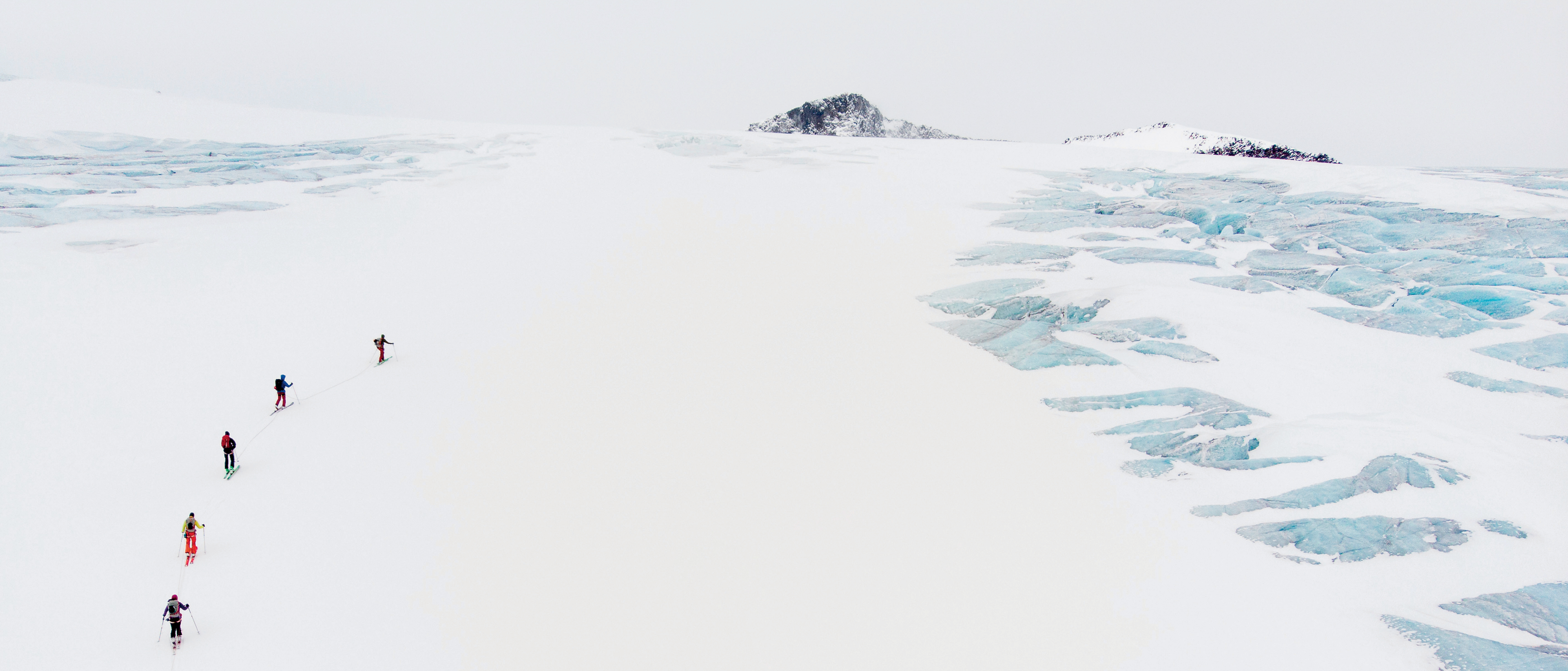
After a long, flat crossing across the glacier, we ski a short pitch as the sun is dropping towards the horizon. With happy faces, we gather at the frozen lake. The wind has finally decreased. Another four kilometers and 300 vertical meters, up and down, before we reach the Glitterheim hut and Knut's big smile. After two physically challenging but wonderful days, we wake up to what we know will be an easy day. It's a flat ski tour from Glitterheim to the summit of Glittertind, Norway's second-highest mountain with 2,457 meters. The wind is still roaring, making our stop on the summit a rather brief one. The descent begins with a traverse around Glittertind's spectacular northern rock face before we head south.
The first pitch is a flat and an open slope. Ahead of us, we see the queen of Norway, Galdhøpiggen, the country's tallest mountain with 2,469 meters. Halfway down, the large open couloir gets steeper and narrower before flattening out for another long traverse to the Spiterstolen huts run by Bjørn Andreas and his wife Bodil. The next day, it is early in the morning when we walk up the valley towards the Tverråglacier. Due to the snow situation and the physical status of the group, Christian decides to modify the original route of 1,800 vertical meters and 17 kilometers in length via the summit of Galdhøpiggen. Instead, we take a more direct course to the southwest across the Tverråglacier, saving 600 vertical meters and three kilometers.
As we reach the pass south of Bukkeholstindan, we find ourselves in the middle of big glaciers and spiky summits. This is Jotunheimen at its best. After a great run, we cross the Søre Lillåglacier and head up to the pass west of us. Once again, we take off the skins. Christian goes first and finds a perfect line. 35-40 degrees, perfect snow. The run ends with a traverse down to the summer road and a short walk to Leirvassbu. The final destination of the original Høyruta are the huts of Krossbu, located further to the west along the road. But because we need to catch a train, we have to improvise again. After a quick breakfast, we turn on the headlamps and follow the road to the north towards Leirvassbu.
It's an hour before sunrise, and the landscape is dressed into a magical blue color. Soon, we put our skins back on and start touring into the valley northeast of Storebjørn. Halfway up, we are greeted by the sun. We are all by ourselves. Everything is beautiful and silent. This is why I love ski touring. We reach the Bjørnglacier and continue around Sokse to a pass leading to the Storeglacier. There's not a single track. I can't get enough of the views. We pass icy-blue crevasses as we make large, high-speed turns across the glacier. 1,200 meters further below, we reach the parking lot marking the end of the open road leading to Leirvassbu. The original Høyruta would have taken us to the Krossbu huts, but instead we chose to ski this line. I think we could not have asked for a better ending.