USA · Cascade Range (Mount Baker)
The Range of Destiny
Issue 2012 · Words: Dan Kostrzewski · Photos: Grant Gunderson · 5 min read
The Mt. Baker Highway is a serpentine two-lane that flows, at first, through dense forest and then impatiently rises from the raging Nooksack River, switch-backing 1,000 vertical meters to treeline …
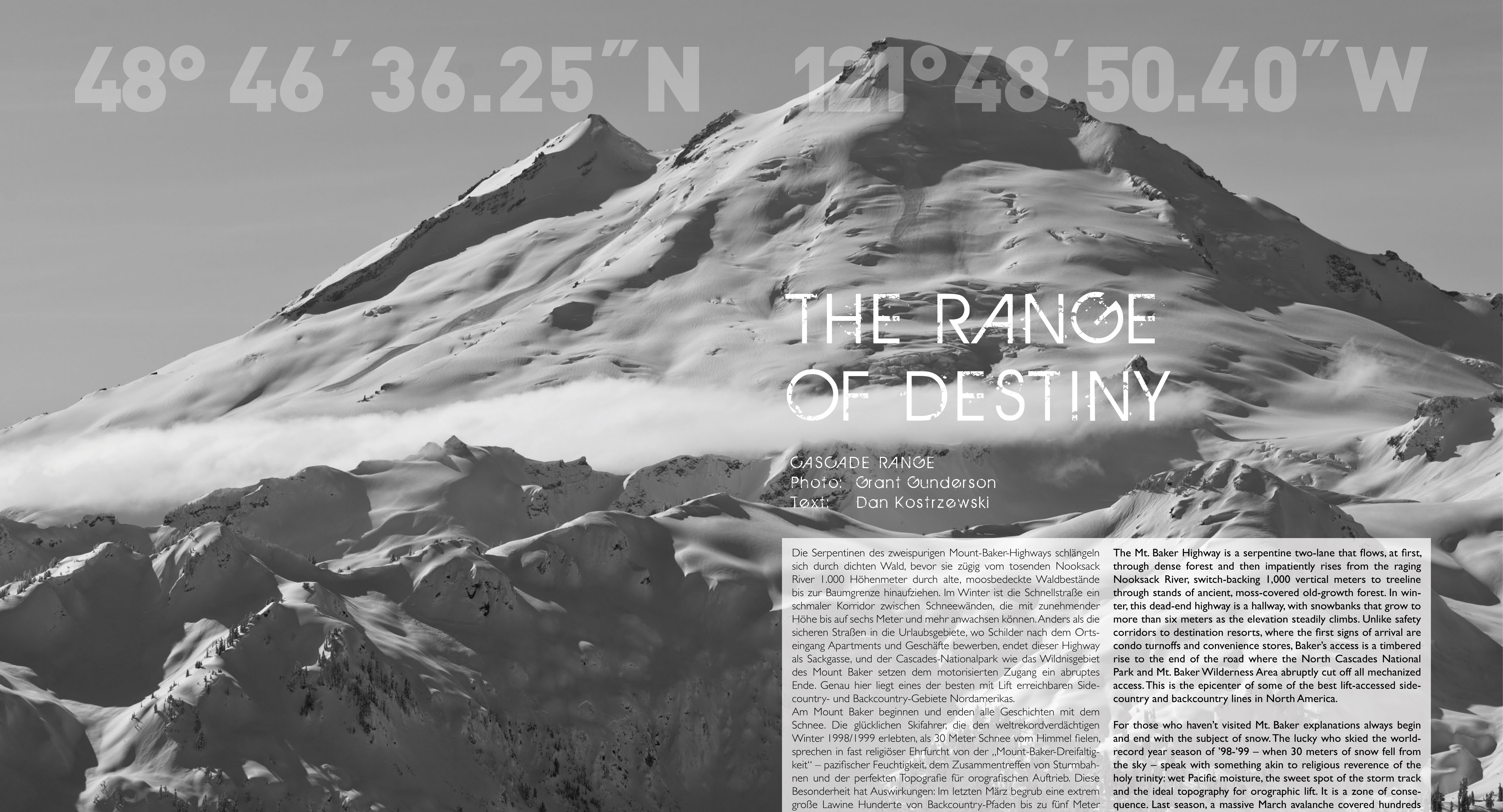
The Mt. Baker Highway is a serpentine two-lane that flows, at first, through dense forest and then impatiently rises from the raging Nooksack River, switch-backing 1,000 vertical meters to treeline through stands of ancient, moss-covered old-growth forest. In winter, this dead-end highway is a hallway, with snowbanks that grow to more than six meters as the elevation steadily climbs. Unlike safety corridors to destination resorts, where the first signs of arrival are condo turnoffs and convenience stores, Baker's access is a timbered rise to the end of the road where the North Cascades National Park and Mt. Baker Wilderness Area abruptly cut off all mechanized access.
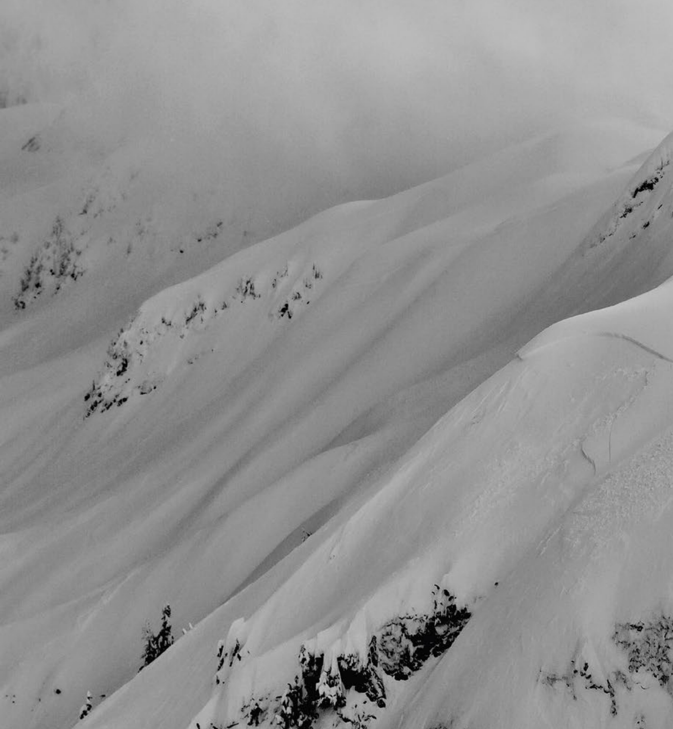
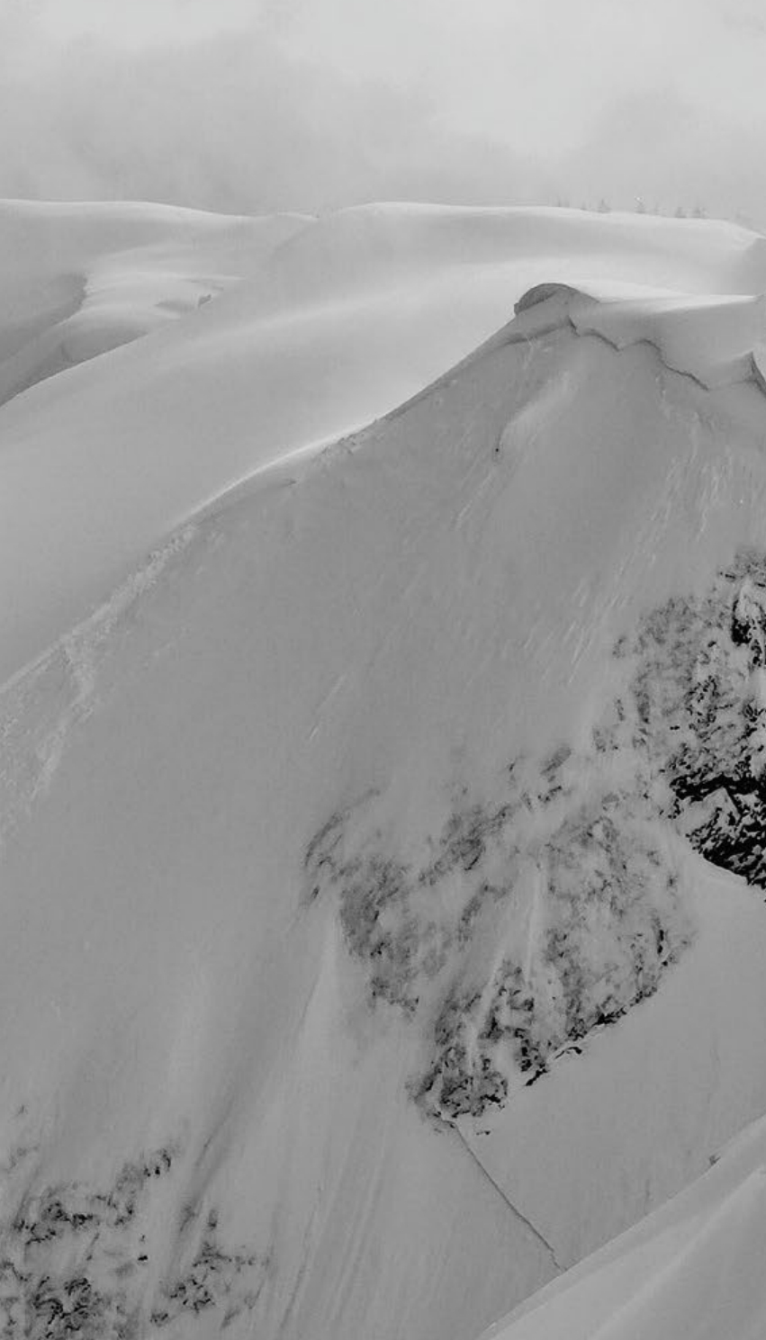
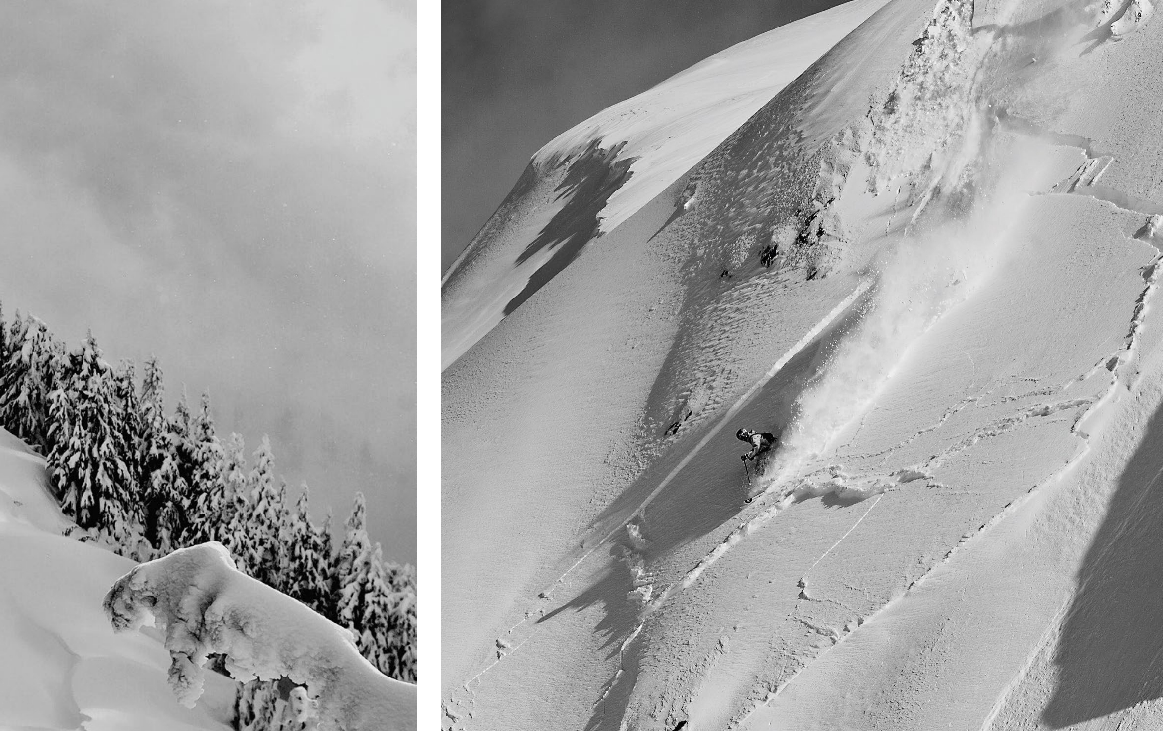
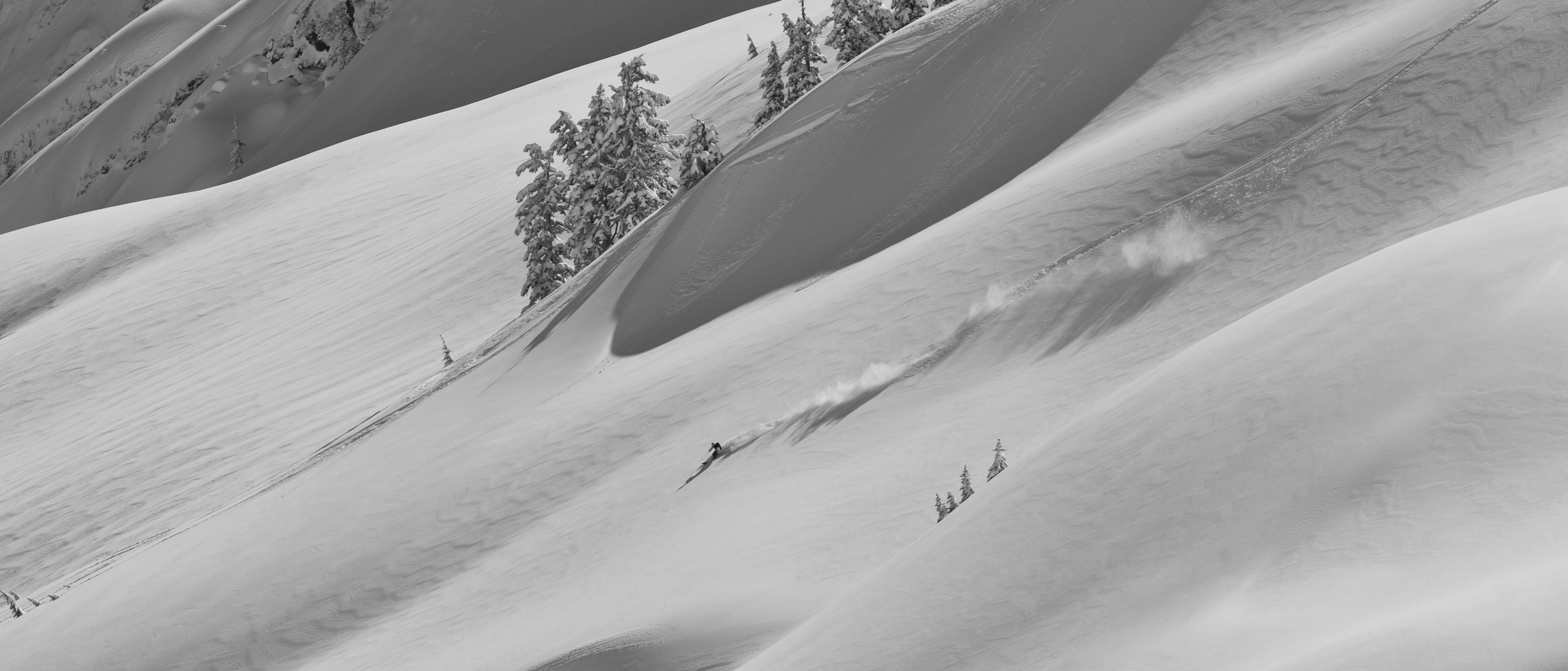
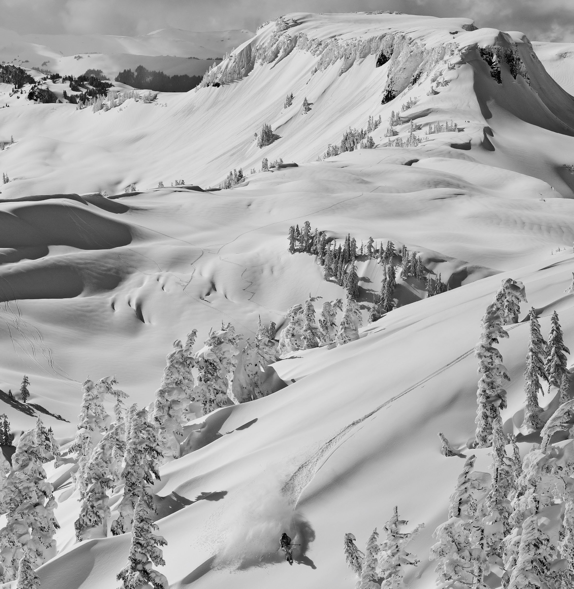
This is the epicenter of some of the best lift-accessed sidecountry and backcountry lines in North America. For those who haven't visited Mt. Baker explanations always begin and end with the subject of snow. The lucky who skied the world-record year season of '98-'99 – when 30 meters of snow fell from the sky – speak with something akin to religious reverence of the holy trinity: wet Pacific moisture, the sweet spot of the storm track and the ideal topography for orographic lift. It is a zone of consequence. Last season, a massive March avalanche covered hundreds of backcountry tracks, left a five meters crown, leveled a patch of forest, created a 1/2-kilometer debris pile more than 30 meters deep and overran a portion of the lower ski area.
The raw, rugged power of the Cascade Range – so evident in pictures – is not easy to compress into a simple description. Stacked up against the Pacific Northwest coast, this range of glaciers includes volcanic high points such as Mt. Baker and Mt. Rainier to the gnarled non-volcanic ridges of Mt. Shuksan and Mt. Stuart. Heavy coastal precipitation slams into the vertical relief of these mountains, dropping meter after meter of snow through winters that can last from November through April. Difficult access, long approaches, sparse amenities, sketchy roads and an untamed remoteness – all within a short driving distance from the cities of Seattle and Portland – give them special character and resonance for urban skiers and climbers. From Mt.
Baker and Stevens Pass Ski Area to Alpental and Crystal Mountain, four rough-edged Cascadian ski resorts straddle the crest of the range from north to south catering to day skiers with steep, featured freeskiing terrain. There are very few options for on-mountain accommodation but the parking lots allow overnight camping in recreational vehicles or camper vans. When the sun cracks through and the sky clears these resorts provide incredible backcountry access. Possibilities for backcountry skiing are not far away from some of the skiresorts. The gate-accessed Alpental backcountry, just 90 kilometers from Seattle, is like a guarded local surf spot, with dangerous 30-meters cliffs, waterfall lines and serious exposure.
When spring arrives and a deep, stable snowpack lingers, the Cascades present many ski touring and ski mountaineering options. From the Nisqually Glacier or the Tatoosh Range near the Paradise parking lot in Mount Rainier National Park to multi-day approaches into Glacier Peak or single-day skis of Mt. Baker, Mt. Adams, Mt. Hood or Mt. St. Helens, the heavily glaciated volcanoes are the obvious choices for big summit skiing. Early starts and parking-lot bivouacs are the norm, with views to the Pacific Ocean and some of the longest vertical descents in the United States outside of Alaska. But unlike the Cascadian volcanoes to the south the North Cascades are a distinctly rugged range in both geology and topography. Mt.
Shuksan, with its hanging glaciers, NW chute and iconic pinnacle, stands as the guardian to the rugged range. State Highway 20 is the spring season gateway to the American Alps. It winds past approaches to the rugged Picket Range ski traverse (which has only been completed three times) and the famous Forbidden Tour before cresting 1,669 meters-high Washington Pass. The state's highest paved pass shuts in winter due to snowpacks that reach 10 meters deep, and more than 100 known avalanche paths that are a constant seasonal threat. But, when the highway reopens in April, the high point is the start zone for the ski ascent of 2,705 meters Silver Star, the corn circle of the Birthday Tour and the classic tour beneath Washington's iconic Liberty Bell.
As the timber thins and the climate dries on the downslope of Highway 20, the node of Mazama sits in pleasant isolation at the head of the Methow Valley. The longtime home base of Steve Barnett, who's book Cross-Country Downhill sparked the modern American telemark movement, it is better known as the mountain community that did not become Whistler Village due to local conservation efforts. During winter, the town is quiet with a 200 kilometers network of meticulously groomed Nordic tracks, a tight-knit community of sled skiers and stunning open spaces held in trust by the forces of conservation.
Below treeline, the west-side towns of Greenwater, Glacier and North Bend, blend aspects of depressed former logging or mining towns, mossy, moist rainforest and refuge for true ski bums who live for the next powder day. On the east side, the mountain town of Leavenworth exists as an oddity, a faux Bavarian town designed to attract weekend tourism with month-long Oktoberfests and Christmas Festivals. With easy access for ski touring into the Icicle Creek Canyon it has become home to many of Washington's most serious mountain folk. It is the only mountain town in the Cascades that can be accessed via the Amtrak train and is within striking distance of the touring terrain accessed from Stevens Pass.
For foreign visitors these Washington communities are a cultural experience, complete with mountain lore, backwoods pride and a respect for preserving the grassroots elements of skiing. In these spectacular locations luxury is rare but skiing is serious. From north to south, volcanic to non-volcanic, sidecountry to ski mountaineering, the range of the Cascades represents something special for skiers who are made of heartier stock. Rugged terrain, rough weather and a dedicated culture of no-frills skiers are what define this range. Deep snow is what you'll experience if you come here to ski, but hopefully you will be enticed in by something more – the unique character of a range that exists, preserved, at the edge of the wilderness.