Österreich · Glockner Group
Wiesbachhorn
Issue 2019 · Words: Thomas Gaisbacher · Photos: Thomas Gaisbacher · 5 min read
In the past, I never planned more than one day for the descent of a steep face in the Alps, be it the Matterhorn east face, the Canalone Neri or the Pallavicini. The Wiesbachhorn was different. Ever …
In the past, I never planned more than one day for the descent of a steep face in the Alps, be it the Matterhorn east face, the Canalone Neri or the Pallavicini. The Wiesbachhorn was different. Ever since I have been traveling in the mountains, it has always caught my eye. In East Tyrol you can see it from almost every three-thousand-meter peak. Its south-eastern face is impressive, but also frightening. A dream that doesn't want to end with powder, but rather a horror scenario when conditions are bad. What's more, you have to climb 2,700 meters, and the ascent takes a long time. This is probably why I've only ever looked at the Wiesbachhorn, but placed it at the very bottom of my to-do list.
The southern chute of the Wiesbachhorn has intrigued me for a long time. 1,600 vertical meters through a continuous rock face are uncommon for the Eastern Alps. However, hardly any information is available. When the channel is filled with snow in midwinter, the risk of avalanches is too high. In the spring, the snow detaches from the rocks and crashes into the valley. What remains are ice-covered gullies and large avalanche cones in the exit. Last February, while I was climbing up to Ritterkopf, I noticed that the conditions at the Wiesbachhorn were unexpectedly perfect. But which route should I take? As if he had read my mind my friend Oliver Winkler contacted me. He and his brother Fred were planning a three-day crossing of the Glocknergruppe.
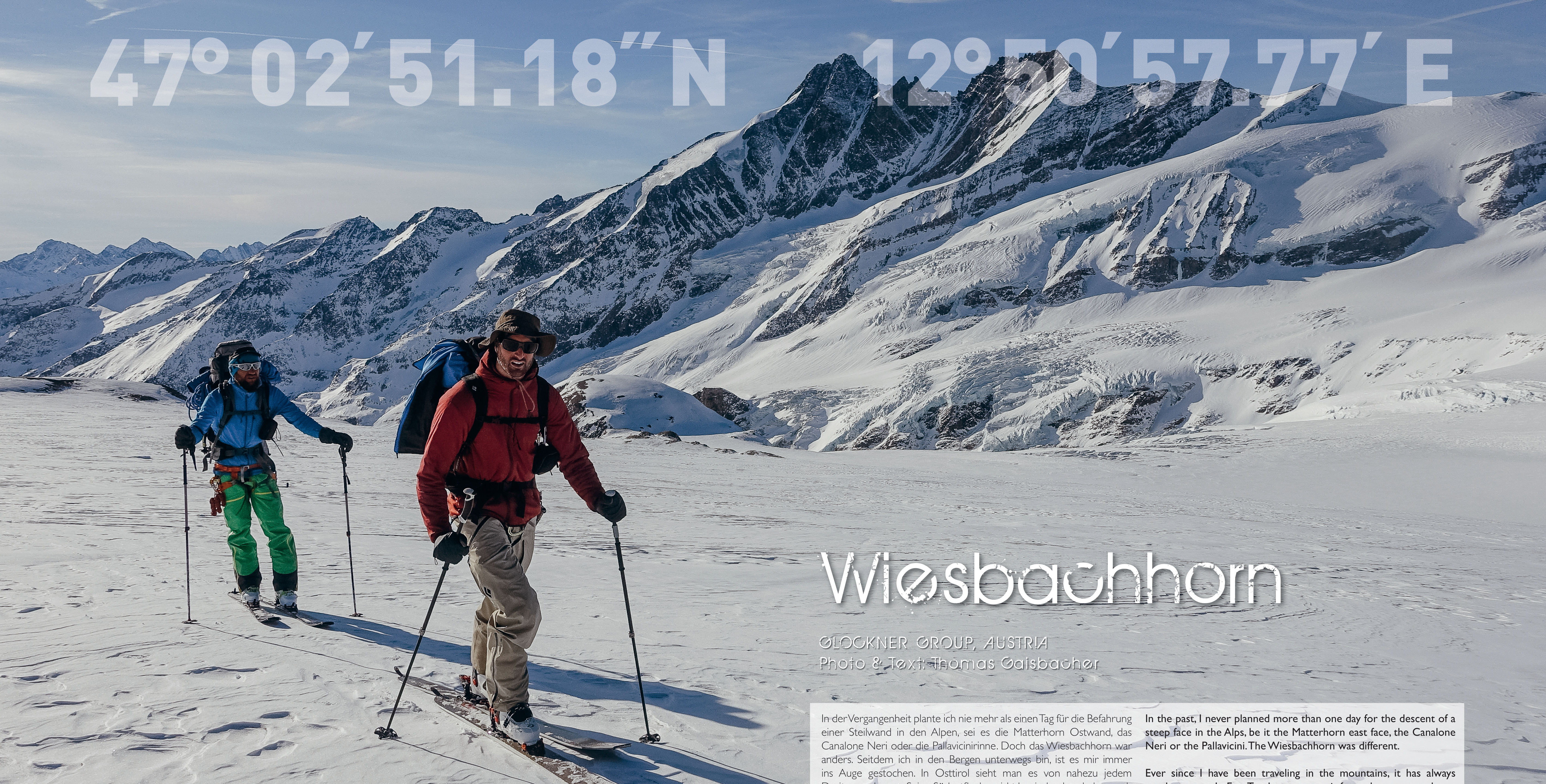
Merely the final leg of the trip was still unclear. This was the answer to my question. This would be the special tour I was looking for. We set out fully loaded with gear and supplies from Heiligenblut. Our first destination was the Oberwalderhütte (2,972 meters), which we wanted to reach comfortably on the road to Franz-Josefs-Höhe and then following the normal marked route. However, the wind had different plans for us. Because of the storm, the usually easy ascent became steep and exposed. When we found out that, on top, the tunnels to the Oberwalderhütte were blocked, we were forced to descend to the glacier of the Pasterze a detour of 350 vertical meters. After more than seven hours, we finally reached our destination.
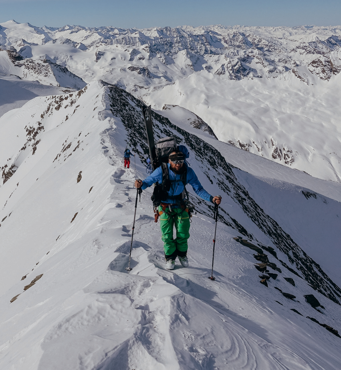
We were looking forward to settling down in the winter room. Unfortunately, the wind had also buried the entire hut under snow. It took us another four hours to clear the entrance to the winter room. For the next day, our plan was to ski the north face of the Fuschkarkopf. But the slope was completely wind-blown. So we decided to climb as many peaks as possible on our way to the Gruberscharten Biwakschachtel (3,104 meters). We climbed the Vorderer Bärenkopf (3,249 meters), descended and continued to the Mittlerer Bärenkopf (3,358 meters). From there we perfectly overlooked our entire route. We boot-packed across the long ridge to the Großen Bärenkopf (3,395 meters) and deposited our skis in the Dockscharte after the descent.
Next, we climbed over some interesting rock formations to the Hohe Dock (3,348 meters). Back at our ski deposit, we crossed the glacier and finally reached our destination for the day. From a distance the bivy hut looked like a small spacecraft that did not fit the landscape at all. Accompanied by an incredibly beautiful sunset, we enjoyed our freeze-dried dinner in the hut. On the last day we left the bivouac with the first rays of sunshine and climbed across the south ridge of the Klockerin (3,425 meters) to the wind-blown summit with the skis attached to our backpacks. After an unpleasant run we reached the Bratschenkopfscharte (3,295 meters), attached the skins to our skis and reached the Hinteren Bratschenkopf (3,413 meters) shortly afterwards.
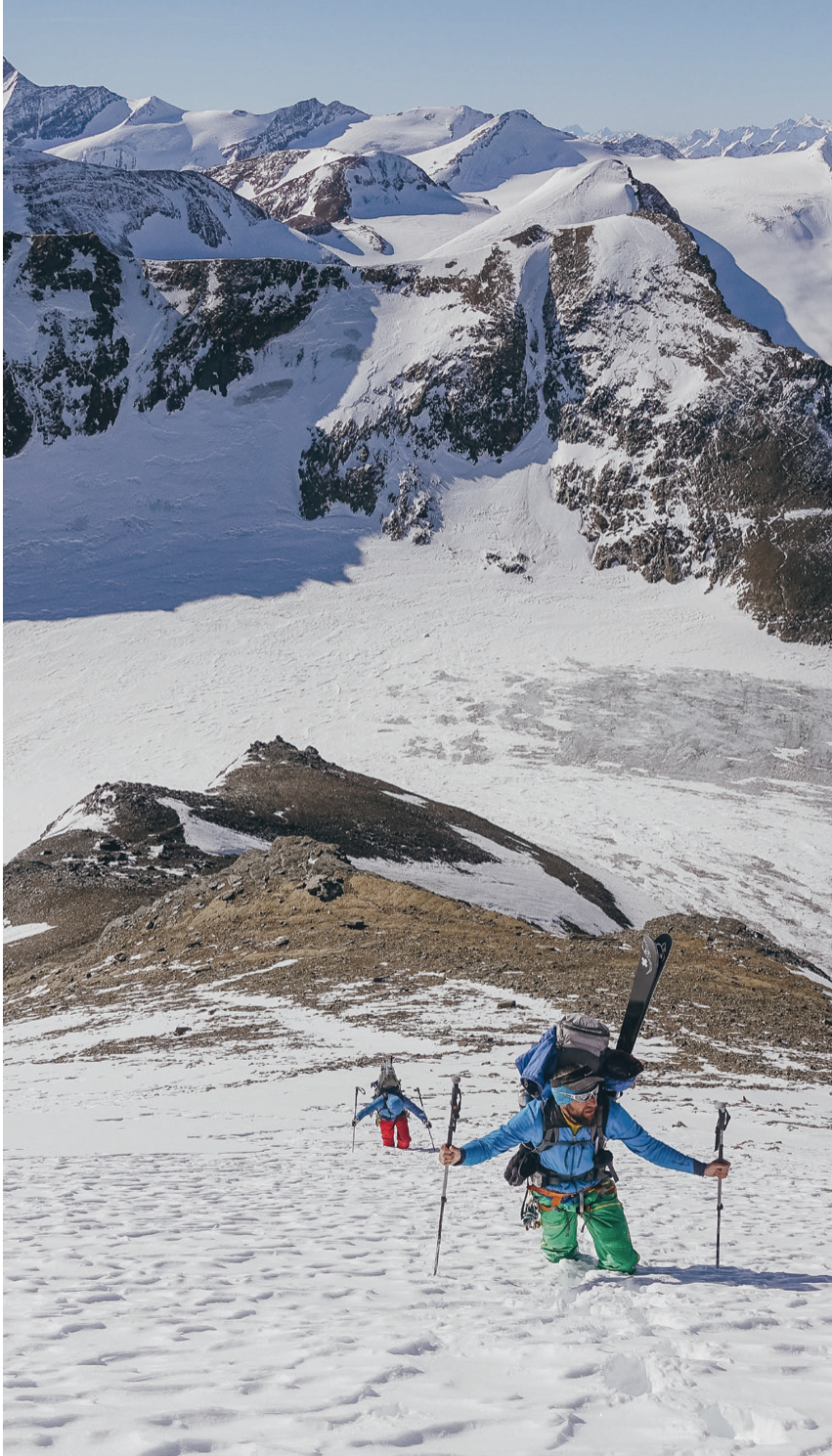
For the first time we got a good view of the Wiesbachhorn. From a frontal view the summit slope seemed incredibly steep and exposed. A large avalanche crack through half of the slope intensified the uneasy feeling in our stomachs. Would the snow on the right side below the summit slip? First, we had to descend to the Wielingerscharte (3,265 meters). A tiny recess on the ridge indicated the only possible skiable line, but it was loaded with pressed snow on greyish, hard ground; in addition, we were facing a small rocky step. Thoroughly shaken we reached the glacier bottom and could finally start our actual project. The higher we climbed the steeper it got.
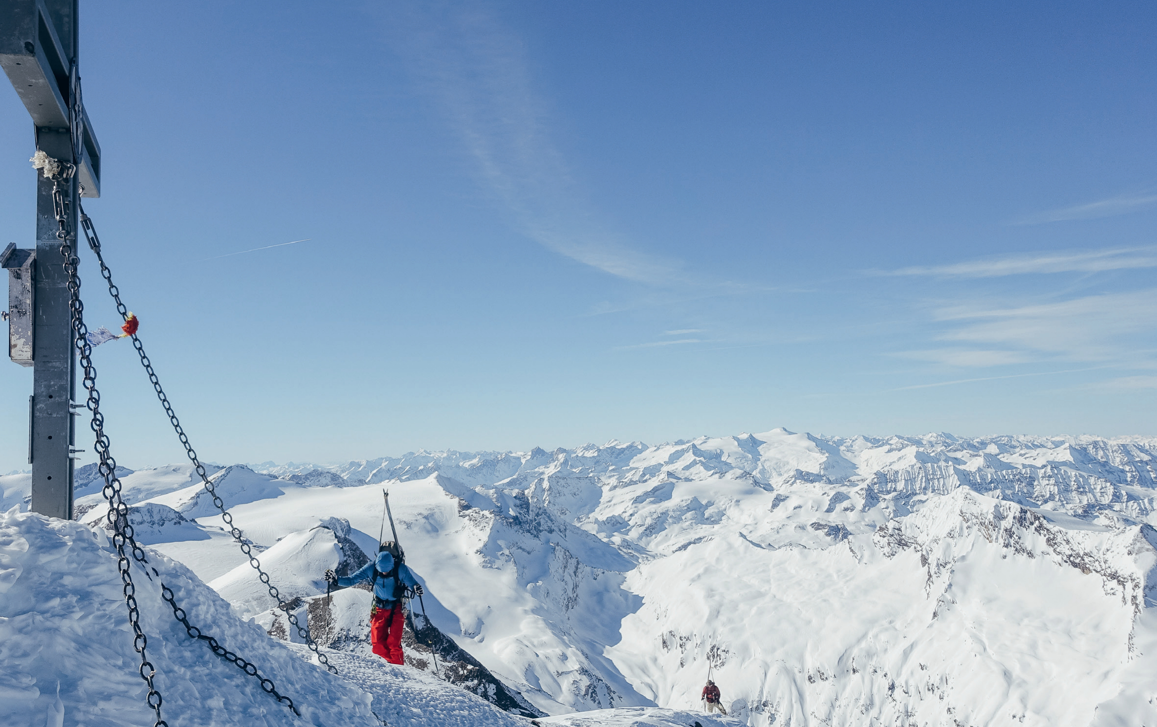
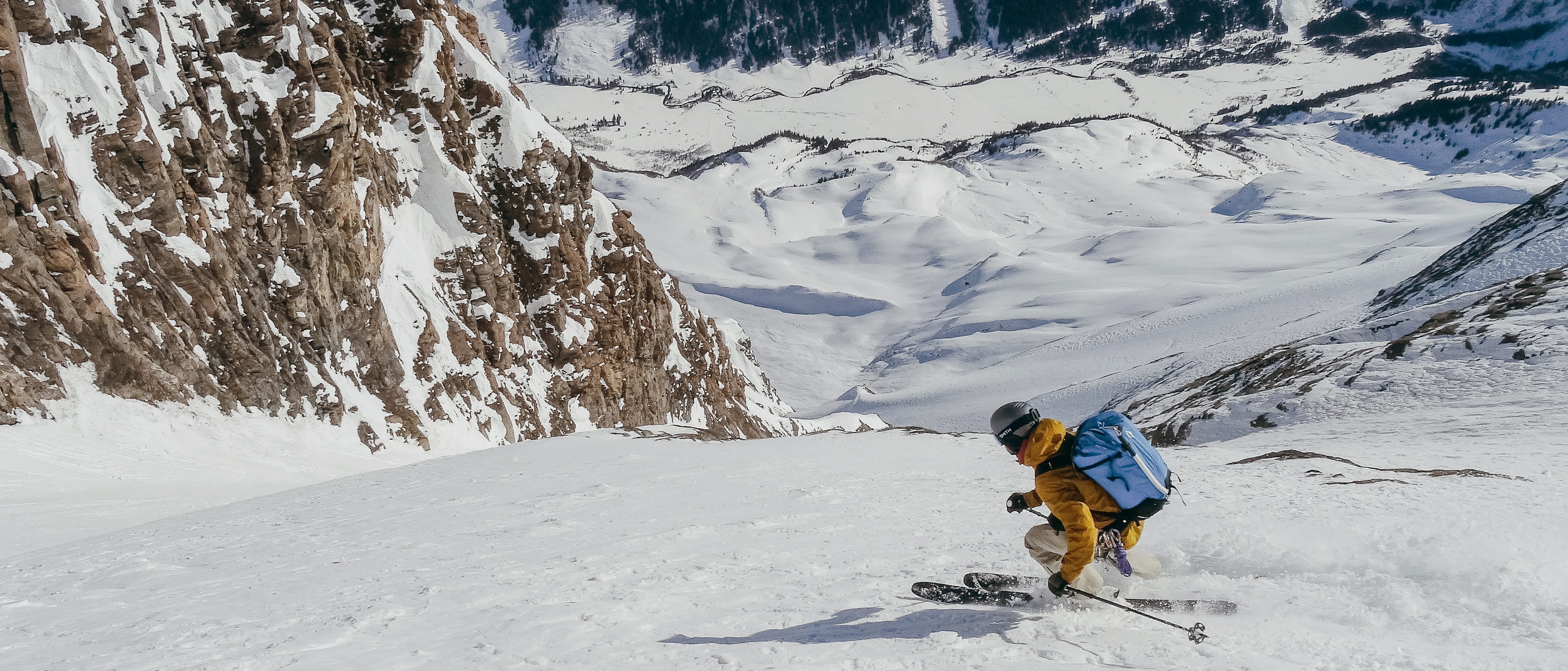
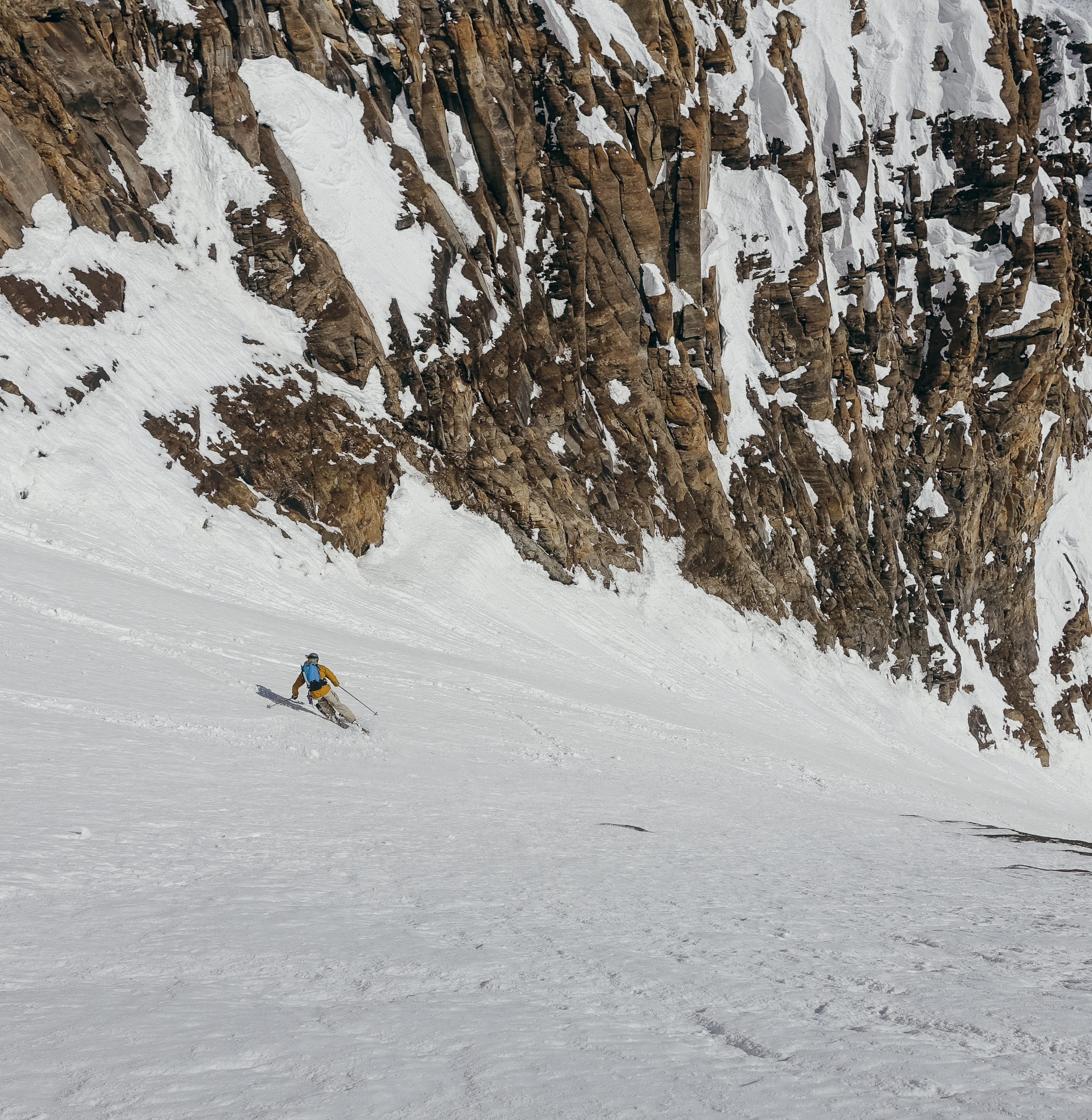
The avalanche crack seemed threatening, but after several checks we noticed that the snow had bonded well. One step at a time we climbed up until we finally made it to the summit. I approached the edge of the rock carefully and could hardly believe my eyes: The snow looked promising, no avalanche cones, no signs of snow slabs. I was the first to drop in. First very carefully, but when the snow sprayed loosely on the second turn I was back in my comfort zone and skied large turns to the entrance of the southern chute. The upper part was already softened by the sun and I had to be careful with my own sluff. Then the channel opened into a huge slope with perfect corn snow. It was a gigantic experience to ski such a wall.
As the snow became powdery again, we were overwhelmed. Towards the bottom, the snow turned into corn again as we headed to Ferleiten. We were definitely at the right place at the right time. After a total of 2,700 meters of descent, we arrived in Fusch at the Glockner road and enjoyed a well-deserved beer. This crossing, followed by the big wall descent, was my first adventure of this kind in the Eastern Alps. Now I know the real potential of my local mountains and that the infrastructure does not end in the valleys. On the contrary: The winter rooms and bivouacs are real gems surrounded by a remarkably beautiful landscape.